Starting off with late this weekend into Monday. Interesting spread in the models here as the European is the outlier with the most westward track compared to the GFS and Canadian. I am not 100% throwing out the Euro however due to the face the British model which I deem pretty accurate is almost exactly the same with its placement of the low pressure system. In any event, I think this is what to expect.
Here is the example of the Euro and British model side by side with placement of the low.

We will know by tomorrow AM if this will verify. If these two models shift east then the GFS wins this battle. I'll be in Northern VT skiing so this would be money in the bank for me.
Moving on, we need to watch Tuesday night into Wednesday for a moderate snow threat that is more favorable for all areas as a low pressure system can develop just to the south of NJ and move just off the coast.

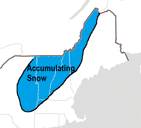
Finally as we head towards the end of the 10 day peroid next weekend we need to watch for a potential big ticket item.
Below is a rough drawing of what the European ensemble mean is showing ahead of this threat..

So there you go, at least we got some potential action on the table. Now we wait and see if any of this verifies starting with the late weekend snow threat for interior New England. I will have limited access to the blog but will try to update via my cell as I am skiing this weekend. Let's hope there is good news to report.
Thanks for checking in.
No comments:
Post a Comment